| Code | Water Source Type | Inspecting Agency | Inspection Date | Region | District | Settlement Name | Settlement Distance | Establishing Agency | Establishing Date | Source Name | Latitude | Longitude | Sources Cluster | Water Source Photo | Users | Permanent? | Months Used | Functioning? | Non Function Reason | No of Humans | No of Camels | No of Cattle | No of Shoats | Irrigation Area | Source Protected? | Borehole Depth | Casing Type | Casing Size | Borehole SWL | Borehole Operating Yield | Borehole Operating Hours | Borehole Operating Drawn | Borehole Recovery Time | Dugwell Depth | Dugwell SWL | Dugwell Yield | Dugwell operating hours | Dugwell draw down | Recovery time | Dam depth | Dam length | Dam width | Berkad depth | Berkad length | Berkad width | Spring Cumulative discharge rate | Other depth | Other length | Other width | Other source yield | Reservoir Type | Reservoir Capacity | Pipeline Type | Pipeline Length | HouseHold Connections | Water Point Kiosks | Troughs | Source Emergency? | No of Trucks | Truck Capacity | Pump Type | Pump Model | Pump Capacity | Pump Level | Power Source | Generator Type | Generator Capacity | Solar Type | Solar Capacity | Supply Condition | Supply System Condition Notes | Physical Water Issues | Physical Problem Reason | Temperature | pH | Electrical Conductivity | Total Dissolved Solids | Water Sample Code | Management Type | WSC | WSC Established Date | WSC Male | WSC Female | Watercharged Humans? | Cost Of Water Humans | Watercharged Animals? | Cost Of Water Animals | Last Intervention Agency | Last Intervention Description | Intervention Date | Proposed Intervention Description | Additional Notes | |
|---|---|---|---|---|---|---|---|---|---|---|---|---|---|---|---|---|---|---|---|---|---|---|---|---|---|---|---|---|---|---|---|---|---|---|---|---|---|---|---|---|---|---|---|---|---|---|---|---|---|---|---|---|---|---|---|---|---|---|---|---|---|---|---|---|---|---|---|---|---|---|---|---|---|---|---|---|---|---|---|---|---|---|---|---|---|---|---|---|---|---|---|---|---|
| BHSNCL005 | Borehole | Somaliland_MoWRD | Nov. 9, 2019 | Sanaag | Ceel Afweyn | Garadag | 1.5 | Alkhair foundation | 09/11/2012 | Garadag BH | 9.4895 | 46.8846 | 0 | 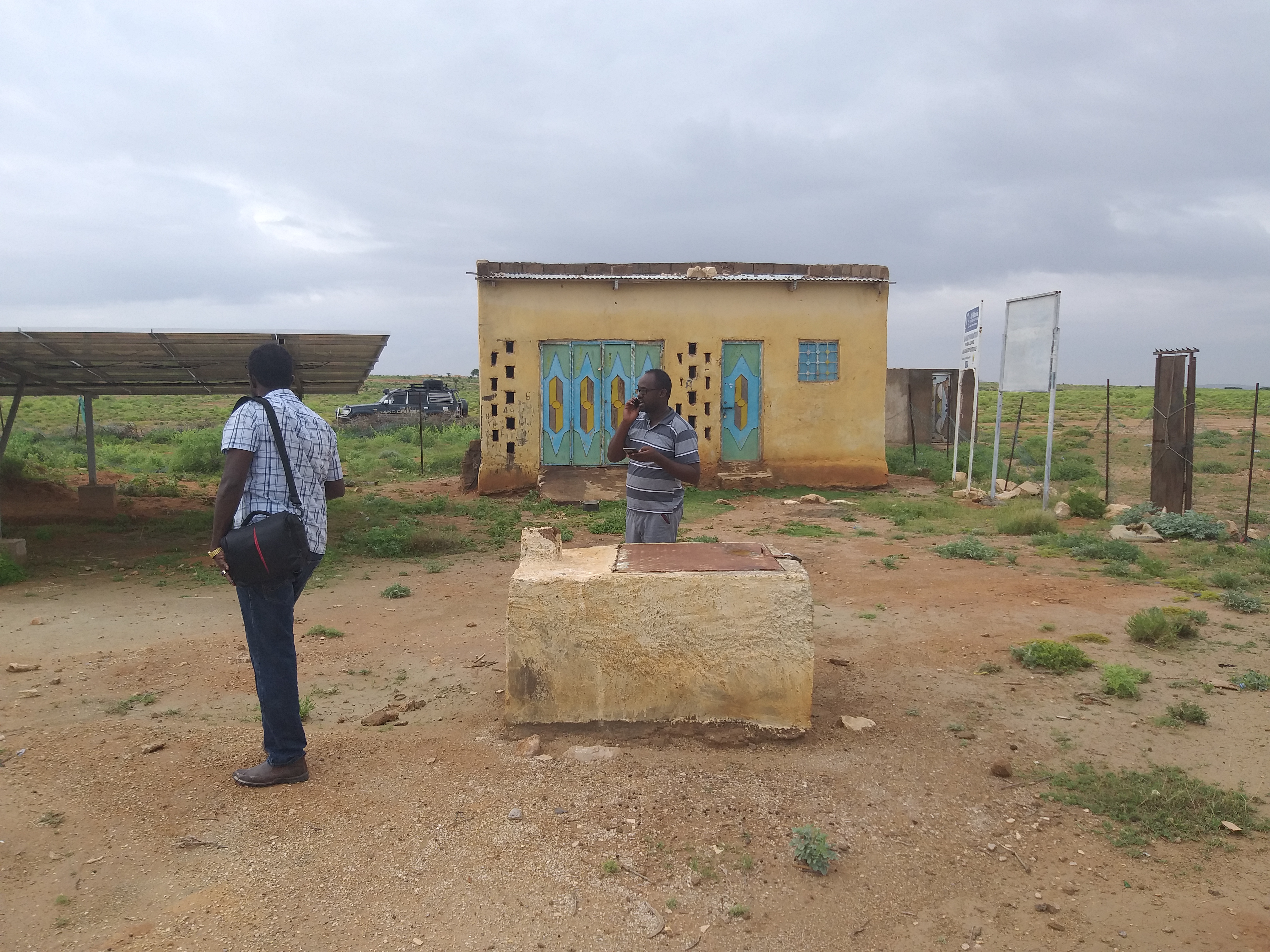 |
Urban | No | 9 | No | Since July 2019 electric cable cut off to the borehole | None | None | None | None | None | None | 220.0 | GI | 8.0 | 200.0 | 9.0 | 4.0 | 180.0 | 1.0 | None | None | None | None | None | None | None | None | None | None | None | None | None | None | None | None | None | Concrete/Masonry tank | 40.0 | Galvanised Steel | Invalid: "data.pipeline_lengthe" | 0 | 2 | 3 | No | None | None | Submersible Pump | Grundfos | 8.0 | 170.0 | Hybrid - Solar/Generator | Kerpor | 16.0 | ECHO-m- 325 | 325.0 | Fair | 50m linkaged | No | None | None | None | None | None | No Document | Utility/Local Authority | None | None | None | None | No | None | No | None | Oxfam Novib | BH solarazation and pipe line extension | Dec. 10, 2018 | We proposed new elevated water tank,cable,pump replacement,50m2 fencing,rehab troughs and kiosk 50m2 2"upvc pipeline extension. | None | |
| Code | Water Source Type | Inspecting Agency | Inspection Date | Region | District | Settlement Name | Settlement Distance | Establishing Agency | Establishing Date | Source Name | Latitude | Longitude | Sources Cluster | Water Source Photo | Users | Permanent? | Months Used | Functioning? | Non Function Reason | No of Humans | No of Camels | No of Cattle | No of Shoats | Irrigation Area | Source Protected? | Borehole Depth | Casing Type | Casing Size | Borehole SWL | Borehole Operating Yield | Borehole Operating Hours | Borehole Operating Drawn | Borehole Recovery Time | Dugwell Depth | Dugwell SWL | Dugwell Yield | Dugwell operating hours | Dugwell draw down | Recovery time | Dam depth | Dam length | Dam width | Berkad depth | Berkad length | Berkad width | Spring Cumulative discharge rate | Other depth | Other length | Other width | Other source yield | Reservoir Type | Reservoir Capacity | Pipeline Type | Pipeline Length | HouseHold Connections | Water Point Kiosks | Troughs | Source Emergency? | No of Trucks | Truck Capacity | Pump Type | Pump Model | Pump Capacity | Pump Level | Power Source | Generator Type | Generator Capacity | Solar Type | Solar Capacity | Supply Condition | Supply System Condition Notes | Physical Water Issues | Physical Problem Reason | Temperature | pH | Electrical Conductivity | Total Dissolved Solids | Water Sample Code | Management Type | WSC | WSC Established Date | WSC Male | WSC Female | Watercharged Humans? | Cost Of Water Humans | Watercharged Animals? | Cost Of Water Animals | Last Intervention Agency | Last Intervention Description | Intervention Date | Proposed Intervention Description | Additional Notes |


