| Code | Water Source Type | Inspecting Agency | Inspection Date | Region | District | Settlement Name | Settlement Distance | Establishing Agency | Establishing Date | Source Name | Latitude | Longitude | Sources Cluster | Water Source Photo | Users | Permanent? | Months Used | Functioning? | Non Function Reason | No of Humans | No of Camels | No of Cattle | No of Shoats | Irrigation Area | Source Protected? | Borehole Depth | Casing Type | Casing Size | Borehole SWL | Borehole Operating Yield | Borehole Operating Hours | Borehole Operating Drawn | Borehole Recovery Time | Dugwell Depth | Dugwell SWL | Dugwell Yield | Dugwell operating hours | Dugwell draw down | Recovery time | Dam depth | Dam length | Dam width | Berkad depth | Berkad length | Berkad width | Spring Cumulative discharge rate | Other depth | Other length | Other width | Other source yield | Reservoir Type | Reservoir Capacity | Pipeline Type | Pipeline Length | HouseHold Connections | Water Point Kiosks | Troughs | Source Emergency? | No of Trucks | Truck Capacity | Pump Type | Pump Model | Pump Capacity | Pump Level | Power Source | Generator Type | Generator Capacity | Solar Type | Solar Capacity | Supply Condition | Supply System Condition Notes | Physical Water Issues | Physical Problem Reason | Temperature | pH | Electrical Conductivity | Total Dissolved Solids | Water Sample Code | Management Type | WSC | WSC Established Date | WSC Male | WSC Female | Watercharged Humans? | Cost Of Water Humans | Watercharged Animals? | Cost Of Water Animals | Last Intervention Agency | Last Intervention Description | Intervention Date | Proposed Intervention Description | Additional Notes | |
|---|---|---|---|---|---|---|---|---|---|---|---|---|---|---|---|---|---|---|---|---|---|---|---|---|---|---|---|---|---|---|---|---|---|---|---|---|---|---|---|---|---|---|---|---|---|---|---|---|---|---|---|---|---|---|---|---|---|---|---|---|---|---|---|---|---|---|---|---|---|---|---|---|---|---|---|---|---|---|---|---|---|---|---|---|---|---|---|---|---|---|---|---|---|
| BHWGHA057 | Borehole | Somaliland_MoWRD | Dec. 19, 2019 | Woqooyi Galbeed | Hargeisa | Darasalaam | 2.0 | Private | 19/12/2019 | Maxamed Away Axmed BH1 | 9.8191 | 44.0131 | 2 | 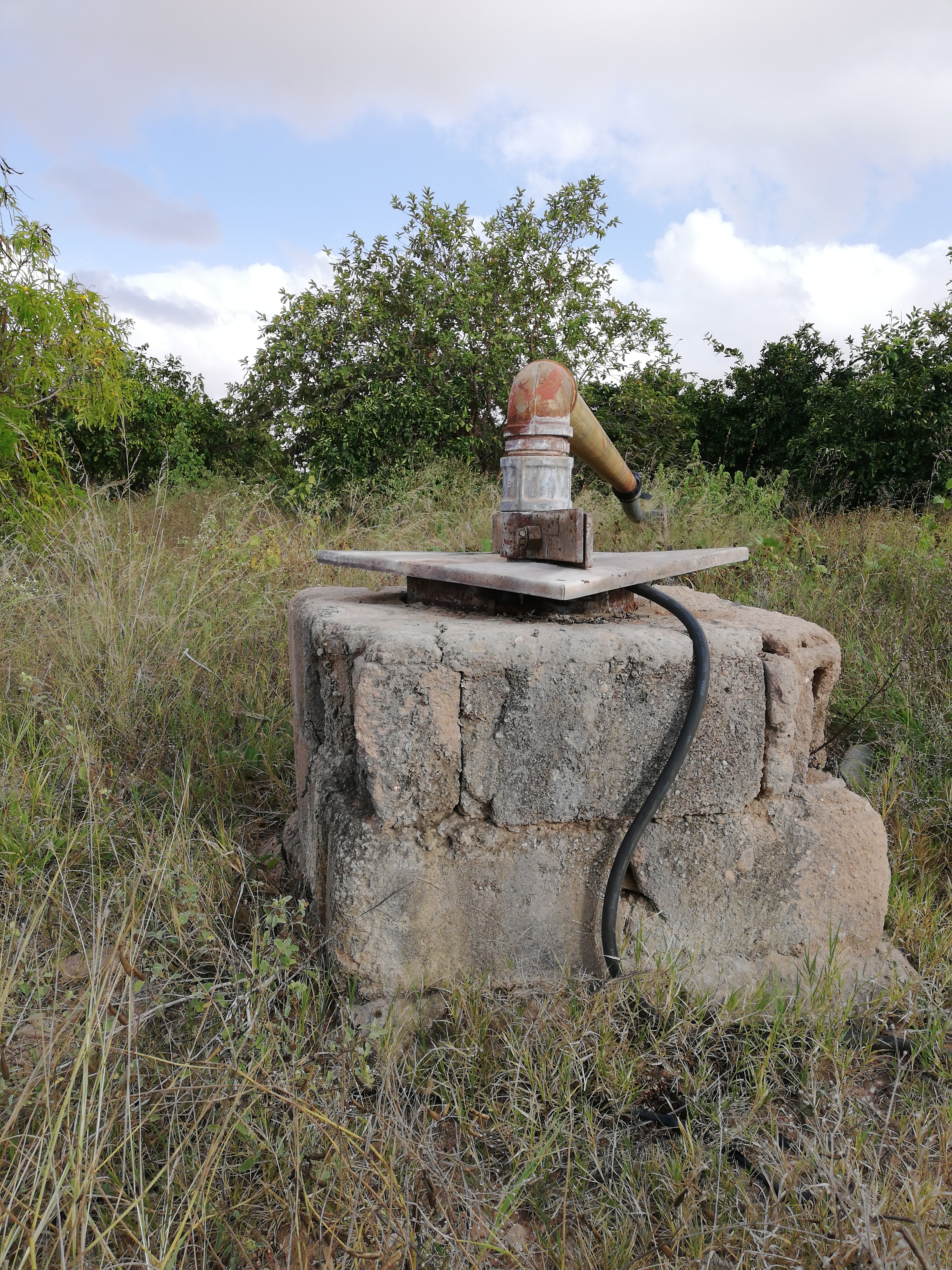 |
Urban | Yes | None | Yes | None | None | None | None | None | None | None | 90.0 | PVC | 8.0 | 40.0 | 4.0 | 10.0 | None | 0.0 | None | None | None | None | None | None | None | None | None | None | None | None | None | None | None | None | None | Other | 0.0 | PVC | Invalid: "data.pipeline_lengthe" | 0 | 0 | 0 | No | None | None | Submersible Pump | Graundfos | 3.0 | 80.0 | Hybrid - Solar/Generator | Perkins UK | 30.0 | Pheto | 30.0 | Good | Is good | Yes | None | 27.9 | 7.2 | 1130.0 | 580.0 | No Document | Private/Individual | None | None | None | None | No | None | No | None | None | None | None | None | None | |
| Code | Water Source Type | Inspecting Agency | Inspection Date | Region | District | Settlement Name | Settlement Distance | Establishing Agency | Establishing Date | Source Name | Latitude | Longitude | Sources Cluster | Water Source Photo | Users | Permanent? | Months Used | Functioning? | Non Function Reason | No of Humans | No of Camels | No of Cattle | No of Shoats | Irrigation Area | Source Protected? | Borehole Depth | Casing Type | Casing Size | Borehole SWL | Borehole Operating Yield | Borehole Operating Hours | Borehole Operating Drawn | Borehole Recovery Time | Dugwell Depth | Dugwell SWL | Dugwell Yield | Dugwell operating hours | Dugwell draw down | Recovery time | Dam depth | Dam length | Dam width | Berkad depth | Berkad length | Berkad width | Spring Cumulative discharge rate | Other depth | Other length | Other width | Other source yield | Reservoir Type | Reservoir Capacity | Pipeline Type | Pipeline Length | HouseHold Connections | Water Point Kiosks | Troughs | Source Emergency? | No of Trucks | Truck Capacity | Pump Type | Pump Model | Pump Capacity | Pump Level | Power Source | Generator Type | Generator Capacity | Solar Type | Solar Capacity | Supply Condition | Supply System Condition Notes | Physical Water Issues | Physical Problem Reason | Temperature | pH | Electrical Conductivity | Total Dissolved Solids | Water Sample Code | Management Type | WSC | WSC Established Date | WSC Male | WSC Female | Watercharged Humans? | Cost Of Water Humans | Watercharged Animals? | Cost Of Water Animals | Last Intervention Agency | Last Intervention Description | Intervention Date | Proposed Intervention Description | Additional Notes |


