| Code | Water Source Type | Inspecting Agency | Inspection Date | Region | District | Settlement Name | Settlement Distance | Establishing Agency | Establishing Date | Source Name | Latitude | Longitude | Sources Cluster | Water Source Photo | Users | Permanent? | Months Used | Functioning? | Non Function Reason | No of Humans | No of Camels | No of Cattle | No of Shoats | Irrigation Area | Source Protected? | Borehole Depth | Casing Type | Casing Size | Borehole SWL | Borehole Operating Yield | Borehole Operating Hours | Borehole Operating Drawn | Borehole Recovery Time | Dugwell Depth | Dugwell SWL | Dugwell Yield | Dugwell operating hours | Dugwell draw down | Recovery time | Dam depth | Dam length | Dam width | Berkad depth | Berkad length | Berkad width | Spring Cumulative discharge rate | Other depth | Other length | Other width | Other source yield | Reservoir Type | Reservoir Capacity | Pipeline Type | Pipeline Length | HouseHold Connections | Water Point Kiosks | Troughs | Source Emergency? | No of Trucks | Truck Capacity | Pump Type | Pump Model | Pump Capacity | Pump Level | Power Source | Generator Type | Generator Capacity | Solar Type | Solar Capacity | Supply Condition | Supply System Condition Notes | Physical Water Issues | Physical Problem Reason | Temperature | pH | Electrical Conductivity | Total Dissolved Solids | Water Sample Code | Management Type | WSC | WSC Established Date | WSC Male | WSC Female | Watercharged Humans? | Cost Of Water Humans | Watercharged Animals? | Cost Of Water Animals | Last Intervention Agency | Last Intervention Description | Intervention Date | Proposed Intervention Description | Additional Notes | |
|---|---|---|---|---|---|---|---|---|---|---|---|---|---|---|---|---|---|---|---|---|---|---|---|---|---|---|---|---|---|---|---|---|---|---|---|---|---|---|---|---|---|---|---|---|---|---|---|---|---|---|---|---|---|---|---|---|---|---|---|---|---|---|---|---|---|---|---|---|---|---|---|---|---|---|---|---|---|---|---|---|---|---|---|---|---|---|---|---|---|---|---|---|---|
| BHAWBO068 | Borehole | Somaliland_MoWR | Jan. 13, 2014 | Awdal | Borama | Dila | None | Kuwait Government | 01/06/2008 | Dila BH1 | 9.7684 | 43.3359 | None | 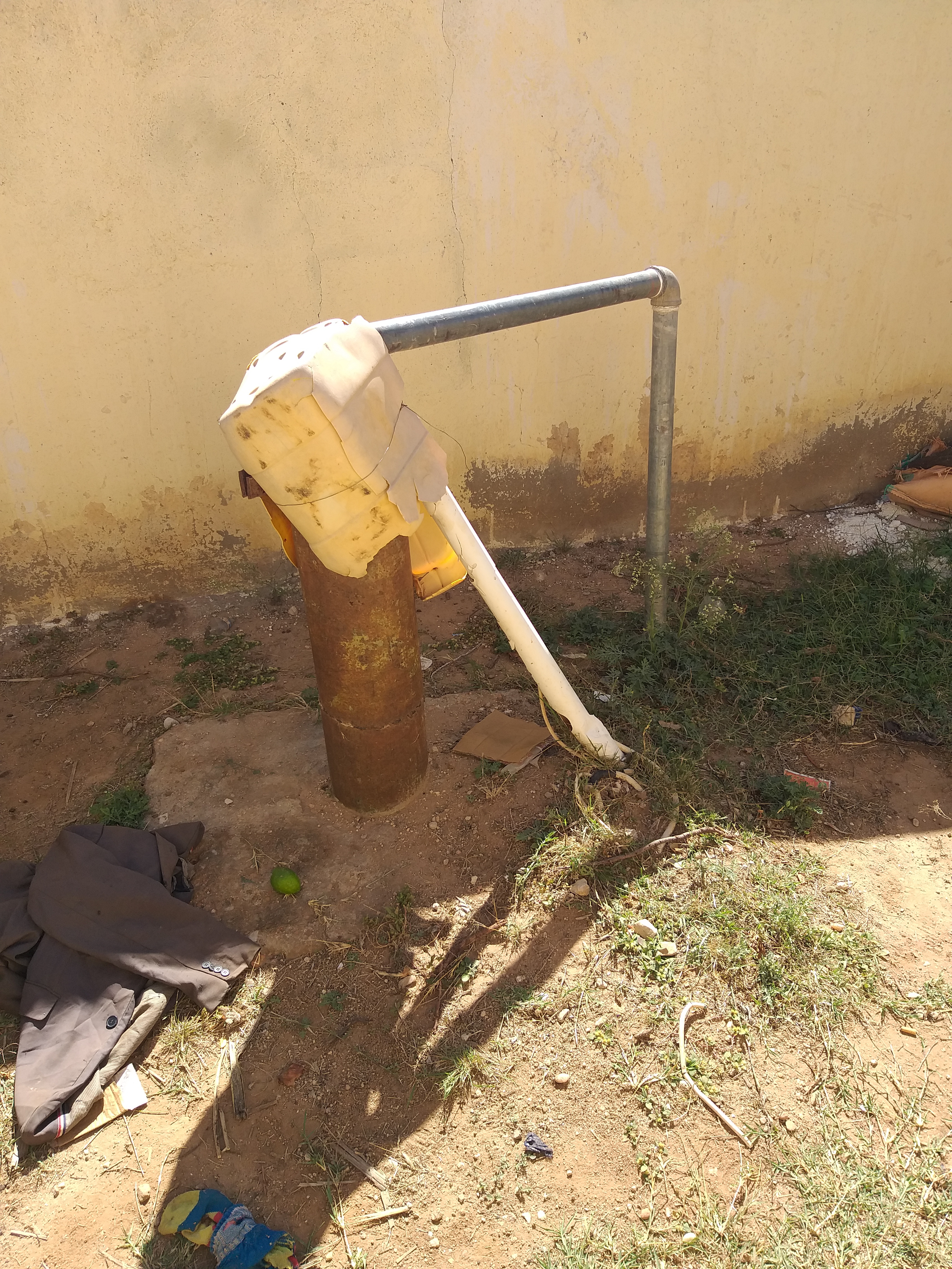 |
Rural | Yes | None | Yes | None | 1000 | 120 | 500 | 300 | None | None | 80.0 | None | None | 70.0 | 5.0 | 1.0 | None | None | None | None | None | None | None | None | None | None | None | None | None | None | None | None | None | None | None | Concrete/Masonry tank | 48.0 | Galvanised Steel | Invalid: "data.pipeline_lengthe" | 0 | 1 | 2 | No | None | None | Submersible Pump | Lowara | 7.5 | 78.0 | Hybrid - Solar/Generator | Perkins | 37.5 | Photovoltaic | 4.13 | Good | None | No | None | 21.0 | 7.46 | 1526.0 | 1090.0 | No Document | Communal | None | 5/18/2017 | 5 | 2 | Yes | 0.06 | No | None | Other | Elevated water tank | May 19, 2017 | No action required | None | |
| Code | Water Source Type | Inspecting Agency | Inspection Date | Region | District | Settlement Name | Settlement Distance | Establishing Agency | Establishing Date | Source Name | Latitude | Longitude | Sources Cluster | Water Source Photo | Users | Permanent? | Months Used | Functioning? | Non Function Reason | No of Humans | No of Camels | No of Cattle | No of Shoats | Irrigation Area | Source Protected? | Borehole Depth | Casing Type | Casing Size | Borehole SWL | Borehole Operating Yield | Borehole Operating Hours | Borehole Operating Drawn | Borehole Recovery Time | Dugwell Depth | Dugwell SWL | Dugwell Yield | Dugwell operating hours | Dugwell draw down | Recovery time | Dam depth | Dam length | Dam width | Berkad depth | Berkad length | Berkad width | Spring Cumulative discharge rate | Other depth | Other length | Other width | Other source yield | Reservoir Type | Reservoir Capacity | Pipeline Type | Pipeline Length | HouseHold Connections | Water Point Kiosks | Troughs | Source Emergency? | No of Trucks | Truck Capacity | Pump Type | Pump Model | Pump Capacity | Pump Level | Power Source | Generator Type | Generator Capacity | Solar Type | Solar Capacity | Supply Condition | Supply System Condition Notes | Physical Water Issues | Physical Problem Reason | Temperature | pH | Electrical Conductivity | Total Dissolved Solids | Water Sample Code | Management Type | WSC | WSC Established Date | WSC Male | WSC Female | Watercharged Humans? | Cost Of Water Humans | Watercharged Animals? | Cost Of Water Animals | Last Intervention Agency | Last Intervention Description | Intervention Date | Proposed Intervention Description | Additional Notes |


